Edgartown Major Watershed Boundary & Parcels
- Preferred version: https://www.mvcommission.org/node/51655/attachment
- Newest version: https://www.mvcommission.org/node/51655/attachment/newest
Description:
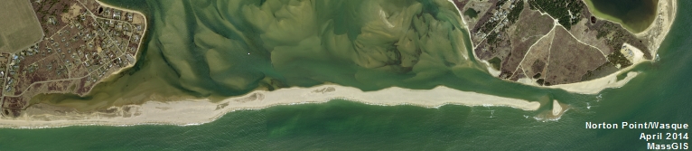
Major watershed boundaries (adopted by MVC in Nov. 2015). The watershed boundaries were compiled through the MassEstuaries program work conducted by SMAST and the MVC. The boundaries are based on hydrology, geology, and topography. Boundaries were initially created using a computer model (performed by SMAST) and then modified with on-screen digitizing (performed by SMAST &/or MVC) if warranted by additional data. Parcel boundaries as of 2015.
Attach File:
Document Date:
Monday, January 4, 2016
Project Type:
Other
Resource Type: