
In 2015, the Martha's Vineyard Commission officially adopted an island wide watershed map to outline the boundaries of each waterbody's watershed.
Up-Island 208 - Watershed Management Plans
Chilmark Lower and Upper Watersheds: Existing Conditions; Existing Conditions Appendix
James Pond Watershed: Draft report still under review as of 12/15/22
Menemsha Pond Watershed (coming soon as of 12/15/22): Existing Conditions; Existing Conditions Appendix
Squibnocket Pond Watershed: Existing Conditions; Existing Conditions Appendix
Tisbury Great Pond Watershed: Existing Conditions; Existing Conditions Appendix
Potential Solutions Report - for all 5 Up-Island Watersheds
Watersheds
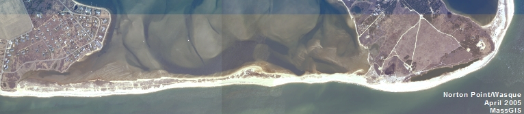
A pond’s watershed is the area of land that contributes water to a pond. The slope of the surrounding upland determines the area that contributes surface runoff to a pond. The shape of the water table around a pond determines the direction that water within the aquifer flows and the ultimate area that will contribute groundwater to a pond.
In the western, hilly areas of the Vineyard, the soil is developed on impervious clay and till. Seepage through this kind of soil is very slow and aquifers may be confined to pockets or beds of sandy material. In these situations, the watershed of a pond like Menemsha Pond, James Pond or Daggett's Pond is defined by the topography that directs the flow of surface runoff to the pond.
The south shore and the north shores east of Tashmoo have very sandy soil and the watershed is not determined so much by the topography of the surrounding upland but rather by the groundwater flow paths. The Commission has prepared a Watershed Map illustrating the approximate groundwater contribution areas to the coastal ponds.
These watersheds define areas where pollutants entering the ground may eventually affect coastal pond water quality. Nitrogen from wastewater disposal, fertilization of landscapes and farm fields and storm water runoff is the primary nutrient of concern. The watershed map is the starting point for determining the impact on water quality of buildout within each pond's watershed.