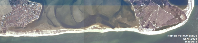
New Seafloor Mapping Initiative Report Published
CZM and the U.S. Geological Survey (USGS) published the new seafloor mapping report, High-resolution geophysical data from the Inner Continental Shelf: South of Martha's Vineyard and north of Nantucket, Massachusetts, which presents geophysical data collected by USGS during a survey in 2013. The report includes bathymetric data (water depth), acoustic backscatter that provides an image of the seafloor, and seismic-reflection profiles that reveal the nature of the sediment layers below the seafloor. The reports were prepared as part of the 13-year, cooperative mapping program between CZM and USGS, which began in 2003 and has mapped more than 2,403 square kilometers (928 square miles) of the Commonwealth’s coastal waters. For more information, see CZM's Seafloor Mapping Program website and the recently updated USGS Geologic Mapping of the Seafloor Offshore of Massachusetts website, or contact CZM’s Dan Sampson at [email protected].
The MVC’s planning jurisdiction in the ocean extends out to the three-mile limit of state waters.
The Wind Energy Plan for Dukes County includes a compilation and analysis of critical ocean resources around Martha's Vineyard and Gosnold.
The MVC’s Coastal Planner, Jo-Ann Taylor, is the Martha's Vineyard representative on the Massachusetts Ocean Advisory Commission which oversaw the preparation of the Massachusetts Ocean Management Plan and is responsible for periodic revisions.
BOEM and MassCEC Release Marine Wildlife Survey Results to Guide Offshore Wind Development
The Bureau of Ocean Energy Management (BOEM) and the Massachusetts Clean Energy Center (MassCEC) announce the results of two new multi-year marine wildlife survey efforts that focus on collecting baseline biological occurrence and distribution data for whale, turtle, and bird species within the Wind Energy Areas (WEAs) offshore Massachusetts and Rhode Island. The wildlife surveys found that the Massachusetts and Rhode Island WEAs avoid the high concentrations of protected species of whales, turtles and seabirds in these areas.
Highlights from the two surveys include:
- The whale and turtle data were collected from 76 aerial surveys conducted in the survey area between October 2011 and June 2015. The data were supplemented by more than 1,000 days of continuous underwater acoustic recording for whales.
- Researchers from the New England Aquarium sighted 60 North Atlantic right whales, a critically endangered species, over the entire survey only during winter and spring.
- The North Atlantic right whales primarily migrate into the area and engage in short-term feeding before moving onto feeding grounds throughout the Gulf of Maine.
- Leatherback sea turtles were most highly concentrated south of Nantucket between May and November.
- Researchers from the College of Staten Island recorded 25 species of seabirds from a total of 38 aerial surveys conducted between November 2011 and January 2015.
- Two locations, referred to as “hotspots”, were identified where larger than average aggregations of seabirds occurred on a regular basis. Both hotspots were located outside the WEAs.
To view the final reports:
- Northeast Large Pelagic Survey Collaborative Aerial and Acoustic Surveys for Large Whales and Sea Turtles
- Abundance and Distribution of Seabirds off Southeastern Massachusetts, 2011-2015
BOEM 10-25-16 Contact: Tracey Moriarty 703-787-1571