Each map within the MV Commission's DRI Checklist v14 (of 2020) Appendix B can be found here. Click on each image to open in a new tab within your browser. From there, you can zoom-in and pan around the image and/or print or download the image.
If an interactive map version is available, that will contain the parcel boundaries. All maps, static or interactive are provided for reference only. Questions of whether or not a project or subdivision will require review by the Martha's Vineyard Commission should be referred to the respective town's building inspector &/or the MVC's DRI Coordinator.
|
|
|
|
|
|
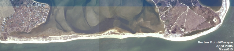
| B-1: Business/Industrial Zone | B-2: Rural Area | B-3: Farmland | B-5 Significant Habitat | |
 |
REMOVED |  |
 |
 |
| B-6 Great Ponds | B-7 Coastal DCPC | B-8 Wind Ocean Zone | B-9 Wind Land Zone |


